

Brochures
Explore our range of documentation.
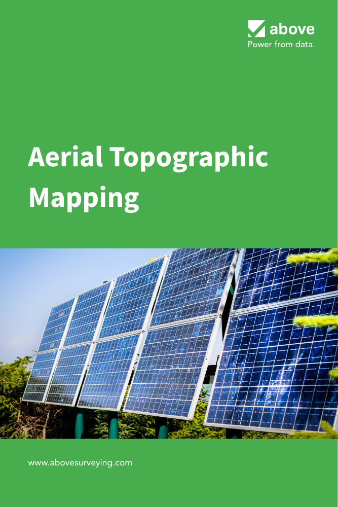
Above’s Aerial Topographic Mapping solution addresses critical development challenges by providing precise, cost-effective data for terrain analysis, design optimisation, within our suite of digital collaboration tools.
Aerial Topographic Mapping
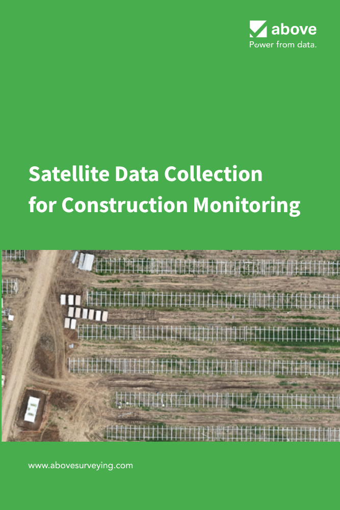
Satellite Data Collection for Construction Monitoring
Recently, satellite technology has become available, showing potential as a tool for monitoring construction progress at utility-scale solar sites. Satellites provide coverage of large areas, offering an innovative solution that demands comparison to the use of drones for image capture.
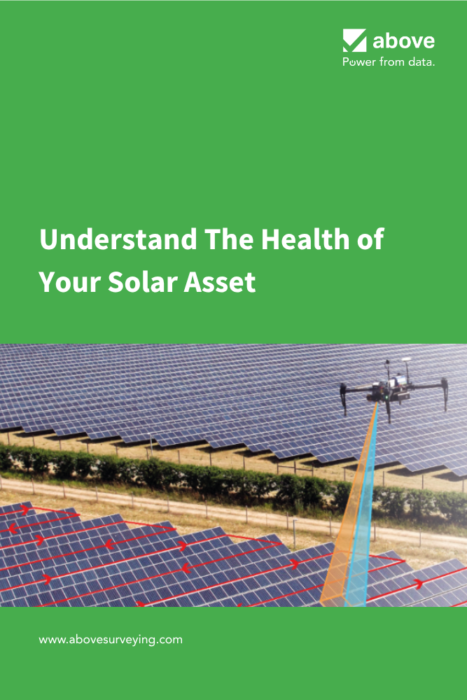
Since 2015, Above has been at the forefront of developing innovative technology to help its customers build and sustain longer-lasting, higher-performing solar plants. Our thermal inspection service, SolarGain, provides unparalleled insights into solar plant health.
Understand The Health of Your Solar Asset - Aerial Thermogaphic Inspections
While drone-based construction monitoring provides your team with bird’s eye insights, your team enriches, tracks, and controls the quality of construction from the ground using Above’s SolarGain Mobile app. Our technology streamlines construction tasks, allowing your team to work more efficiently and effectively.
Digital Construction Management
Be part of the solar plant revolution.
See SolarGain in action, Our team is happy to help!