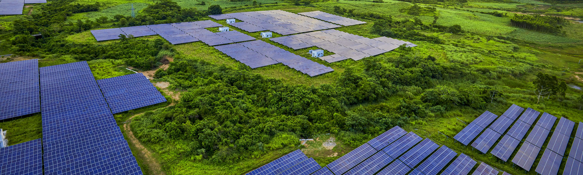
Aerial Topographic Mapping
Topographic mapping is a routine task for solar plant design and construction projects. Visualise your solar plant project using high-resolution aerial data at the fraction of the time and cost of traditional methods. Using a combination of both aerial and ground-based methods, Above delivers a high-resolution map of the site including accurate elevation data.
Advantages of Above’s solution


Deliverables
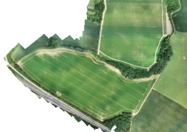
Orthomosaic
A highly accurate and detailed top-down 2D orthometric image of your entire site. Provided in
a geoTIFF format.
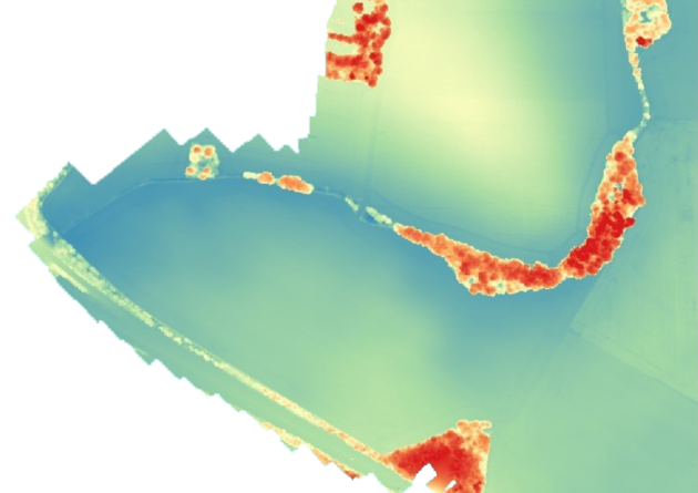
Digital Surface Model (DSM)
A full digital elevation model of your site showing the elevation of every pixel. A useful tool for
confirming terrain profiles.
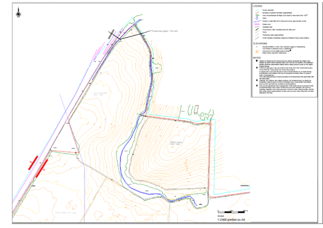
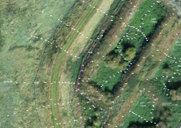
Above Linework
Above provides linework of your site, including contours and labelled layers of important features. We can also perform ground-based surveying of specific features if required.
Examples of important features:
•Vegetation
•Water (lakes, rivers and ponds)
•Roads and tracks
•Power lines
•Buildings and structures
•Other obstacles that may be a potential source of shading or obstruction
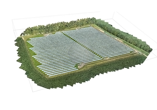
Above Linework and orthomosaic details site features such as powerlines, vegetation and other potential obstructions. This example illustrates a combination of drone data and ground-based data.
Optional Deliverables
Panoramic imagery
Interactive panoramic images are a great tool to understand the context of your site and sources of potential far shading (e.g. mountains).
Summary report
Providing observations on-site regarding access, soil-type, potential hazards or obstructions.
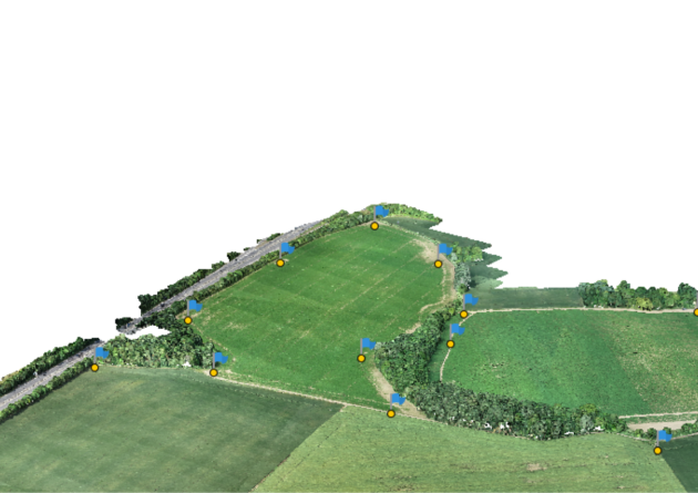
Raw imagery and 3D project files
The raw imagery from the service and 3D projects files are available as an additional deliverable.
Explore our Aerial 3D modelling services in this video
