
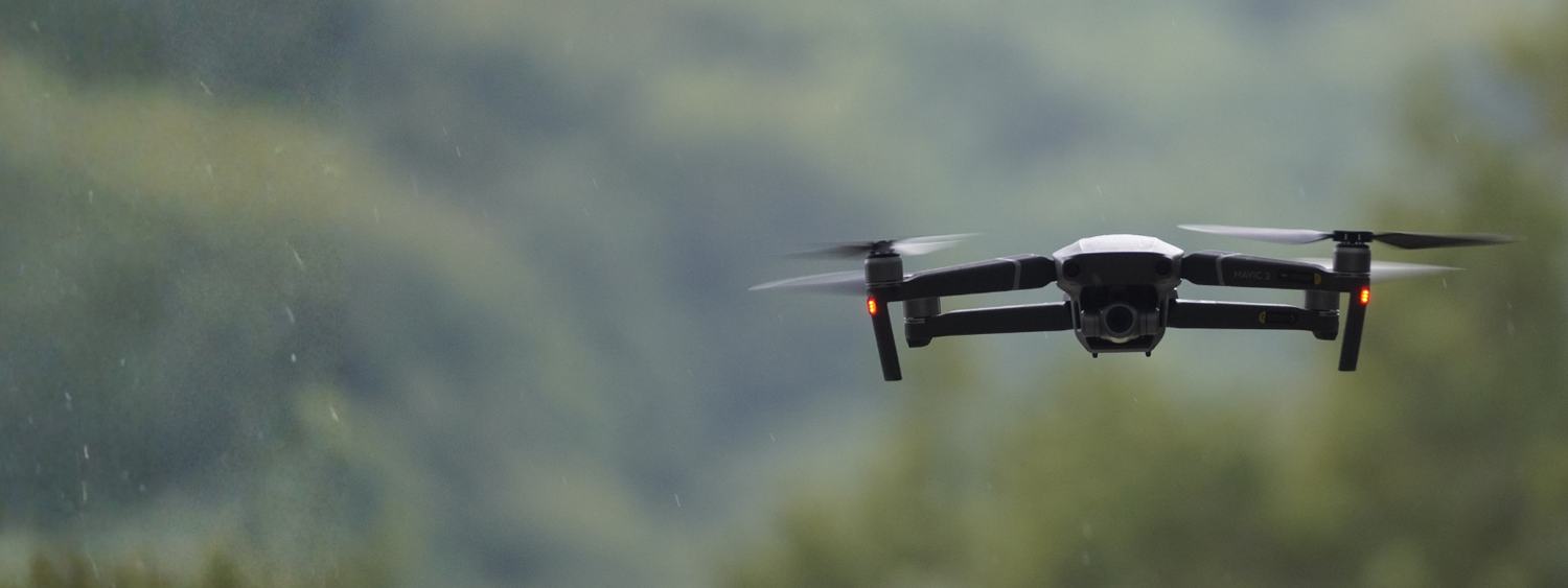
Autonomous Drones
Topographic mapping is a routine task for solar plant design and construction projects. Visualise your solar plant project using high-resolution aerial data at the fraction of the time and cost of traditional methods.
Using a combination of both aerial and ground-based methods, Above delivers a high-resolution map of the site including accurate elevation data.
Above and Autonomous Robotics
Above has pioneered the use of autonomous drones on solar plants, conducting our first customer trial with Octopus Renewables, back in 2022.

Trailblazing the Future of Solar
As an early adopter of autonomous drone technology, we have multiple units actively deployed in the field, testing and gathering valuable data. Our customers are already experiencing the powerful insights these drones provide, enhancing decision-making and operational efficiency.
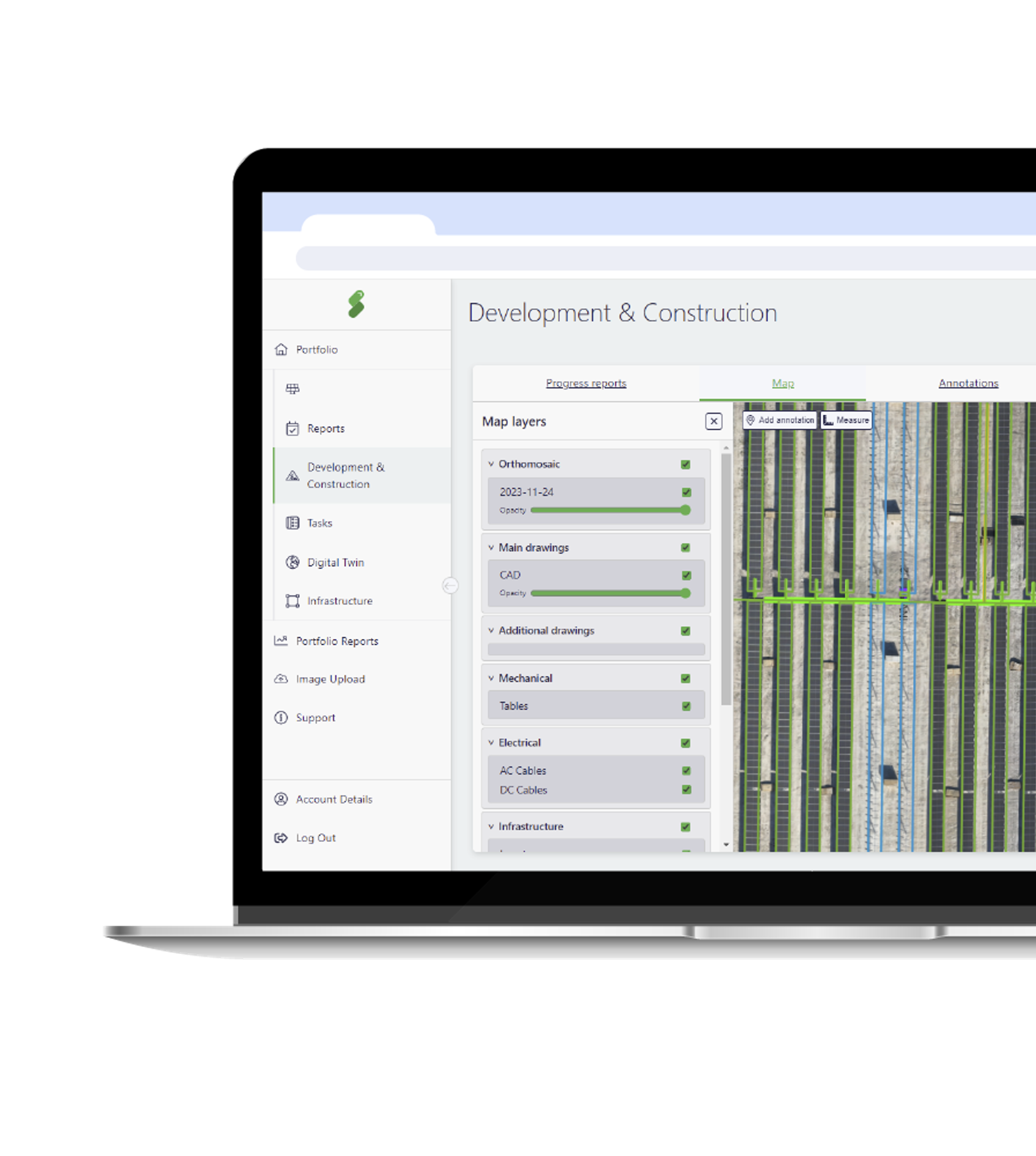
By connecting your SolarGain component-level plant map with Above’s AI-powered image processing, you can harness the power of a resident drone to deliver the insights you need.
This allows you to increase the MWp-to-personnel ratio while providing higher-quality preventative maintenance.
The benefits of autonomous drone technology

Efficiency and Cost Reduction
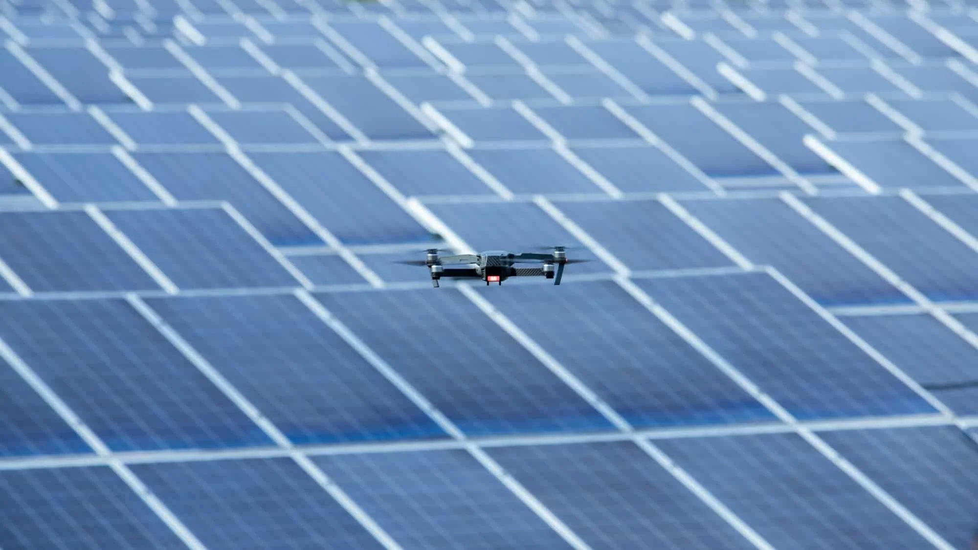
Perform routine operational inspections more frequently, efficiently, and consistently than human technicians, giving you valuable insights into plant component conditions and on-site activities.

Power Predictive Analytics
Higher frequency image collection generates larger datasets, enabling deeper analysis, smarter decision making, and more accurate performance insights, helping you optimise your solar assets more effectively.

Increased Construction Quality
Before operation, this technology can be deployed to monitor and provide forensic oversight during the construction phase of a solar plant, ensuring you stay on track and maintain quality.
Activate a real world proof of concept.
Asset owners can put our solution to the test with a tailored trial.
See first-hand how remote monitoring and analytics can optimise your operations.
Autonomous drones can be deployed for a wide range of applications, including:
Construction Monitoring
Track progress, ensure quality control, and maintain oversight during the build phase.
Security & Intrusion Alerts
Rapidly assess potential threats and improve site security.
Fire Risk Monitoring
Identify early warning signs of potential fire hazards before they escalate.
Storm Damage Inspections
Conduct fast, targeted inspections to assess damage and plan repairs.
Replacing Site Walk Inspections
Increase efficiency by automating routine checks without requiring on-the-ground personnel.

Investigating Performance Alerts
Respond to SCADA alerts with real-time aerial inspections for faster fault diagnosis.
Preventative Maintenance
Detect early signs of wear, overheating, or damage to optimise maintenance and extend asset lifespan.
Grid Infrastructure Inspections
Extend monitoring beyond the solar plant to check substations, transmission lines, and transformers.

Vegetation Management
Monitor and assess vegetation growth around solar arrays to prevent shading losses and fire risks.

Emerging State of the Art
Enhanced Plant Monitoring
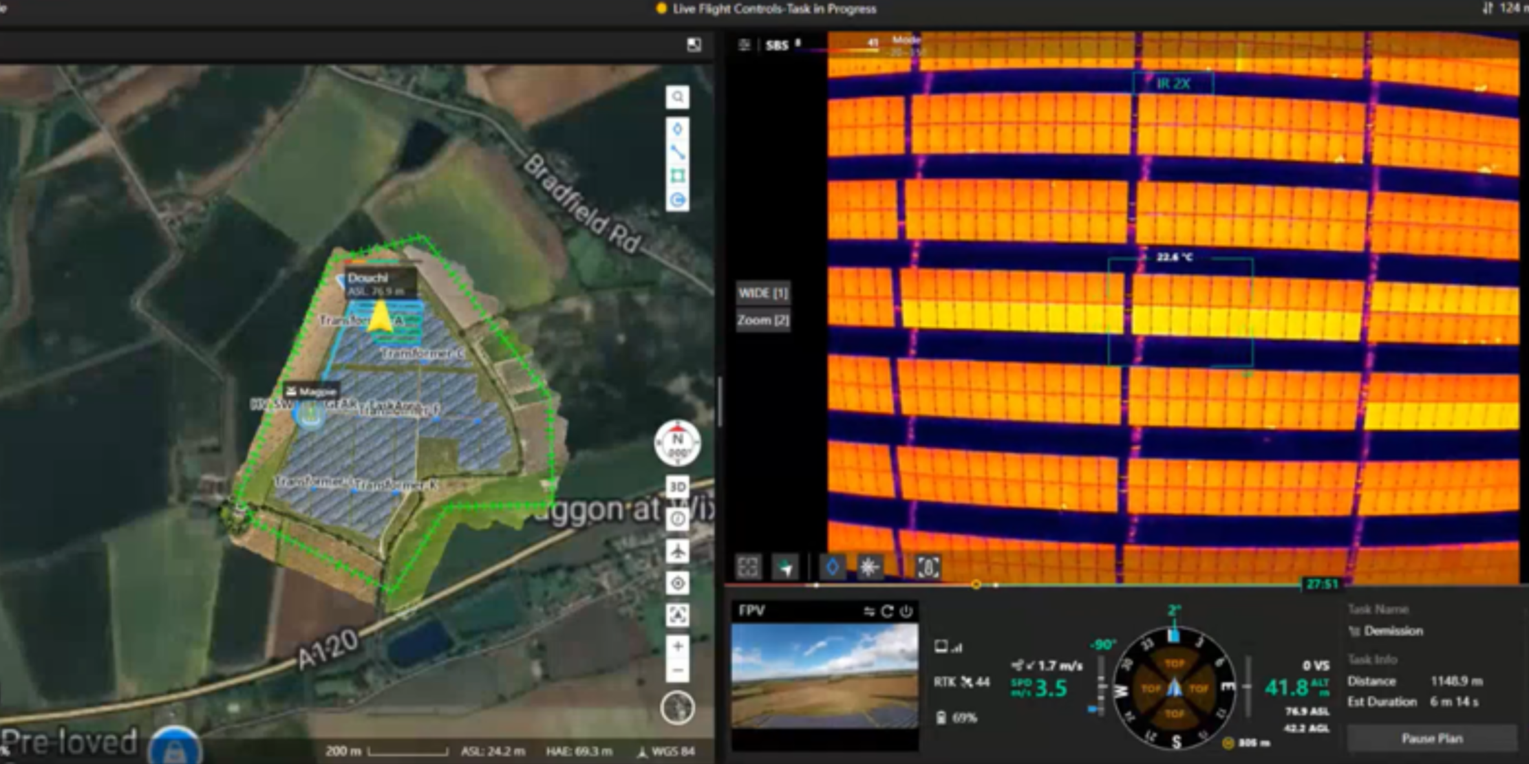
By integrating our SolarGain Digital Twin platform with your SCADA and monitoring systems, our autonomous drones can be deployed in response to alerts or performance anomalies, conducting on-demand visual and thermographic inspections of specific components, areas, or circuits.
Autonomous drones represent a game-changing advancement for the solar industry, offering the potential to revolutionise how solar plants are constructed, managed, and maintained.
FAQs
-
An autonomous drone is a self-directed unmanned aerial vehicle that conducts aerial inspections, mapping, and monitoring at utility-scale solar plants without requiring continuous manual control. These drones follow pre-programmed flight plans and integrate with Above’s SolarGain platform for high-frequency data collection.
-
Autonomous drones enhance solar plant operations by:
Automating routine inspections to reduce time and personnel needs
Collecting high-resolution visual and thermal data for predictive analytics
Responding to SCADA performance alerts with rapid on-demand aerial checks
Supporting preventative maintenance and early fault detection
-
Autonomous drones deployed by Above can perform:
· Construction progress and quality monitoring
· Security & intrusion assessments
· Fire risk and storm damage inspections
· Vegetation management and shading analysis
· Grid infrastructure and substation inspections
Targeted fault diagnosis in response to SCADA alerts
-
Frequent aerial data collection builds richer datasets, enabling smarter performance insights, deeper predictive analytics, and better maintenance decision-making. This raises the MW-per-personnel ratio and improves operational transparency.
-
Yes, by automating routine aerial surveys and inspections, autonomous drones reduce reliance on manual site visits and personnel, deliver faster data turnaround, and can detect issues earlier, lowering long-term maintenance and operational costs.
-
Autonomous drones leverage advanced flight planning systems, GPS navigation, and AI-powered image processing often combined with third-party platforms like SolarGain to collect geospatial and thermal data autonomously, with minimal human intervention.
-
Yes, autonomous drones consistently fly predefined flight paths that capture highly repeatable, high-resolution aerial imagery and data. This level of consistency often yields more reliable condition monitoring than periodic, manual walk inspections.
-
By collecting frequent, consistent visual and thermographic imagery, autonomous drones help identify early signs of wear, hot spots, or other anomalies. This data feeds predictive analytics models that forecast potential failures before they impact performance.
-
Yes, when integrated with systems like SolarGain and SCADA, autonomous drones can be triggered to perform targeted aerial inspections in response to performance anomalies or alerts, enabling faster fault diagnosis and response.
-
Deployment typically includes:
Mapping and flight plan setup
Integration with the plant’s monitoring systems (e.g., SCADA)
Automated mission execution based on schedule or alerts
Data upload and analysis through cloud platforms for decision-making

Be part of the solar plant revolution.
See SolarGain in action, Our team is happy to help!